By Joshua Stanley Maguzu
– PhD student under REFOREST Programme at SUA
Background
This study is being conducted at Sao Hill and Shume forest plantations in Tanzania. The Sao Hill Forest Plantation (SHFP) is in Iringa Region in the Southern Highlands of Tanzania. It covers a total area of 135,903 ha, of which 57,570 ha are planted while 48,200 ha are reserved for natural forest, river valleys and possible plantation expansion. Pinus patula occupies the largest plantation area, followed by P. elliottii, P. caribaea, Cuppresus lusitanica, Eucalyptus saligna, E. grandis, E. maidenii, Acacia melanoxylon, Acacia mearnsii and Grevillea robusta.
The Shume Forest Plantation is located in the Western part of Usambara Mountains in Lushoto District, Tanga region. The total plantation area is about 4,863 hectares and is divided into four plantation blocks, namely, Shume West (1906.7 ha), Shume East (1510.51 ha), Shagayu (693.21 ha) and Magamba block (752.84 ha). Tree species planted include Juniperus procera (pencil Cedar), Cupressus lusitanica, Pinus patula and Pinus radiata.
Objectives
The overall research objective is to investigate the roles of soil quality in enhancing the productivity of forest plantations in Tanzania. Specifically, to:
- Determine site quality using soil quality indices, and dominant height and classify soils into different site quality classes in Sao Hill Forest Plantation;
- Assess the stand parameters of Pinus patula in the site quality classes in Sao Hill Forest Plantation; and
- Determine the relationship between productivity of Pinus patula, soil quality indices and other environmental factors.
The Research
A reconnaissance survey has been conducted at both Sao Hill and Shume Forest Plantations to acquire plantation information from Tanzania Forest Services Agency (TFS) offices.
The selection of divisions for data collection was conducted in the two sites. SHFP is divided into four management units namely Division I, II, III and IV. Division III was selected out of the four divisions due to its importance in terms of productivity and coverage (Table 1).
Table 1: Identified divisions, compartments and respective site classes at Sao Hill FP
| Division | Ranges | Compartment | Site class |
| III | Itimbo | ITW2-19A | II |
| ITW3-12 | III | ||
| ITW4-10 | IV | ||
| ITW1-22 | I |
Shume forest plantation is divided into four divisions, namely, Shume West, Shume East, Shagayu and Magamba. Out of the four divisions, Shume – West (Gologolo) and Shume – East (Hambarawei) divisions were selected based on their production potential and coverage (Table 2).
Table 2: Identified divisions, compartments and site classes at Shume FP
| Division | Compartment | Site class |
|
Shume – West
|
45 (13.3 ha), 45 B (5 (ha) | I |
| 35 (28.1 ha) | II | |
| 67 (57ha) | III | |
| 43 (14.3 ha) | IV | |
|
Shume – East
|
189 (21 ha) | I |
| 187 (23.9 ha), 176 (8.6 ha) | II | |
| 43A (18.3 ha), 164 (9 ha) | III | |
| 181A (74.5 ha) | IV |
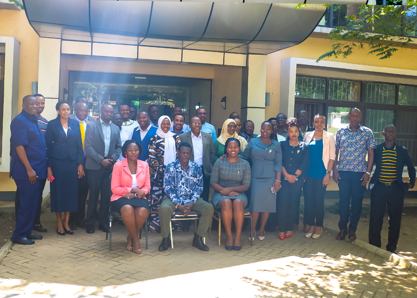
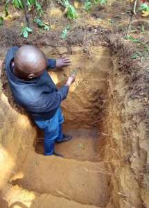
Supervisors’ visitation to the study sites
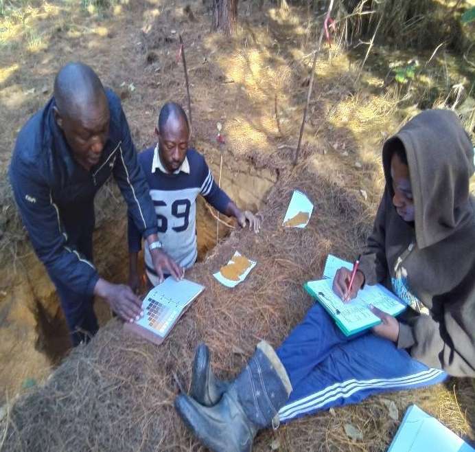
Supervisors Prof. Salim Maliondo (SUA), Prof. Josiah Z. Katani (SUA) and Prof. Ulrik Ilstedt (Sweden-SLU) visited the two field sites i.e., Sao Hill and Shume Forest Plantations to observe and discuss how field research work should be conducted. The field visit covered two days starting at Shume (2nd May 2022) and ending at Sao Hill (4th May 2022).
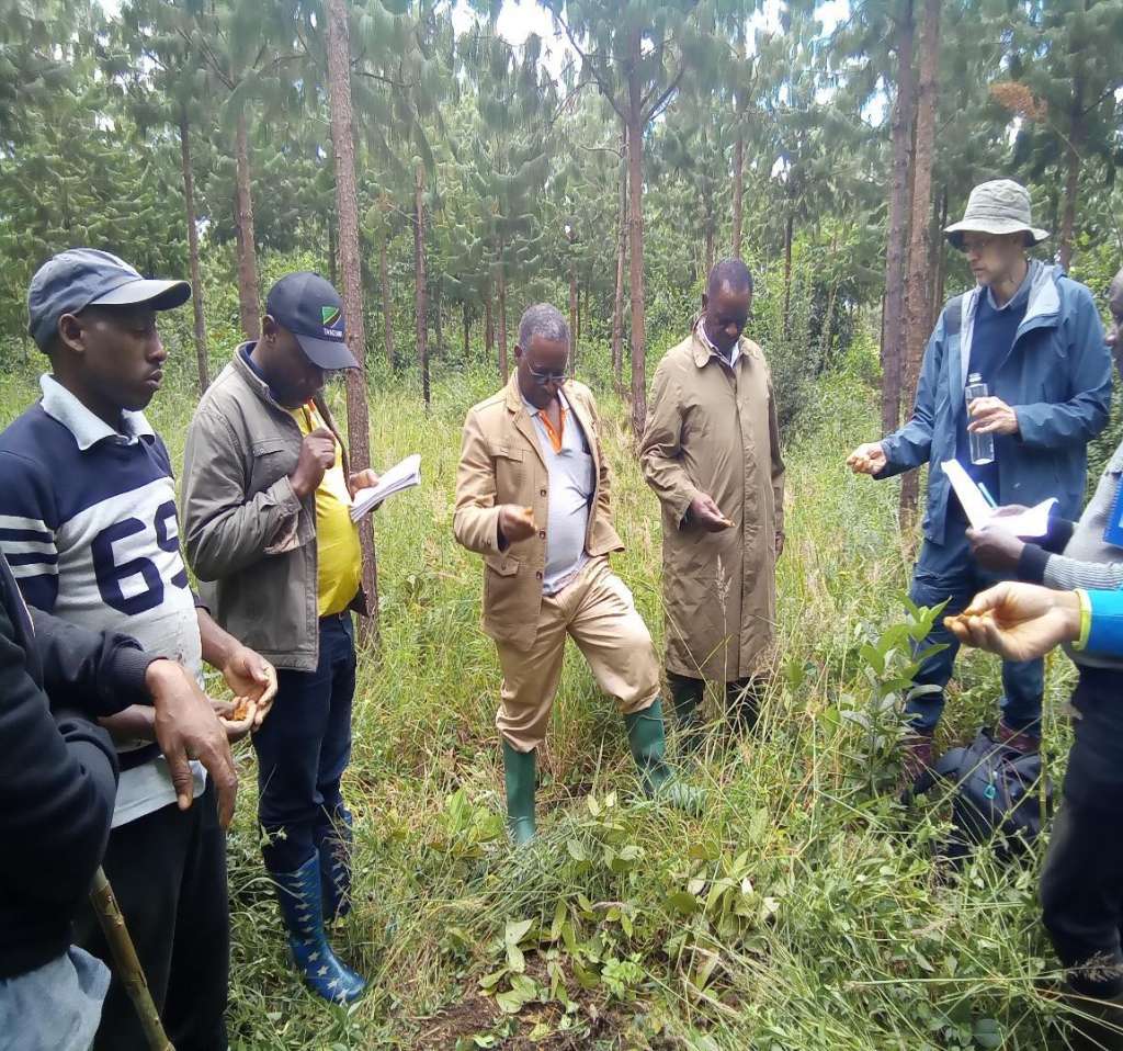
Student and supervisors assessing soil texture at Sao Hill Forest Plantation
Plots layout
Quadrant plots of 20m x 20m were laid out based on soil catena. Twelve (12) plots per site class were established and a profile was excavated at the centre. A total of 48 plots were marked at the Sao hill forest plantation.
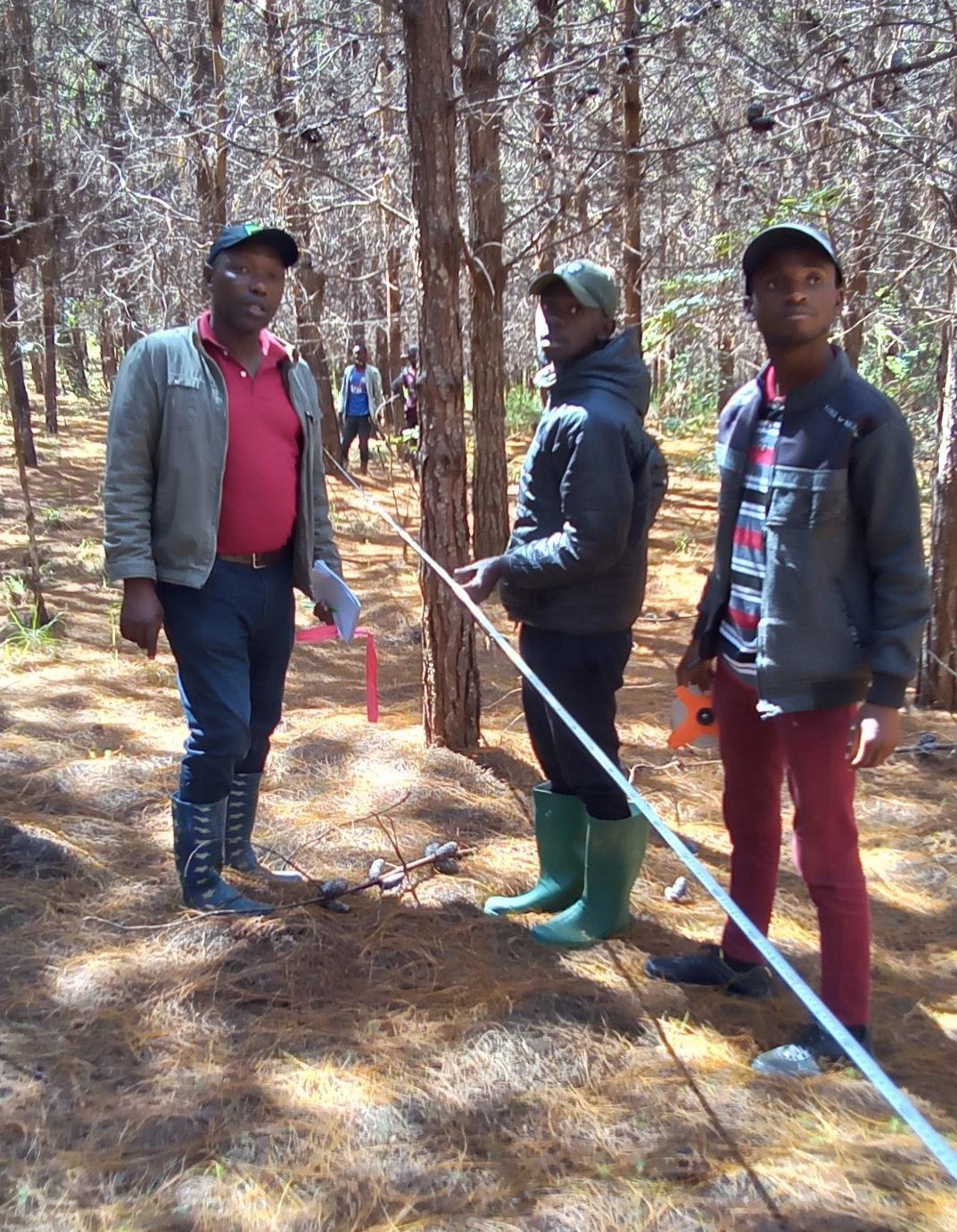
The layout of plots at Sao Hill Forest Plantation
Data and sample collection
Data collected at each plot included elevation, slope, latitude and longitude, soil profile description including horizon boundary, soil colour, structure; a collection of loose soil samples, collection of core samples for bulk density and moisture content assessment, collection of litter layers, plant indicators for soil nutrients status; and tree growth parameters including Dbh and height.
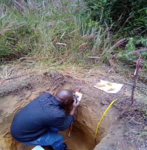
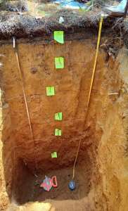
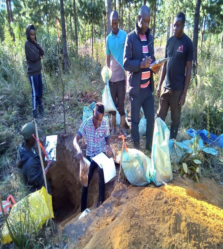
Profile description
At each plot, soil profiles were excavated at varying interval of 20 cm down to 120 cm along the soil catena (summit, middle and bottom levels). For each profile, soil colour, texture, structure, pores, temperature and meso-organisms were assessed. In addition, soil samples were collected for laboratory analysis.
Soil colour examination
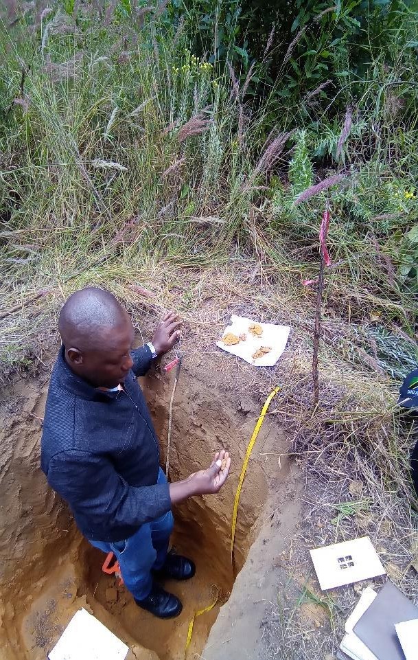
Soil texture by feeling method
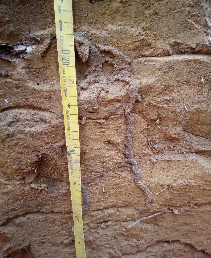
Examining soil pores
Measuring soil temperature
Identifying indicators of soil organisms
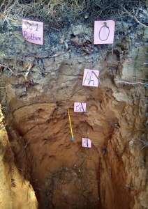
Horizon boundary
Data on the dominant soil forming process was described based on soil horizons. The depth of the upper and lower boundary of each horizon was measured from the surface of the soil downwards.
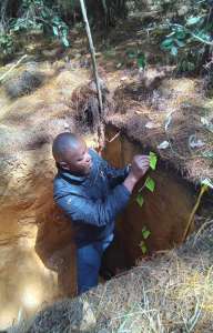
Demarcation of soil horizon boundaries
Loose soil samples
Loose composite samples were collected at two different soil depths of 0-20 and 20-40 cm
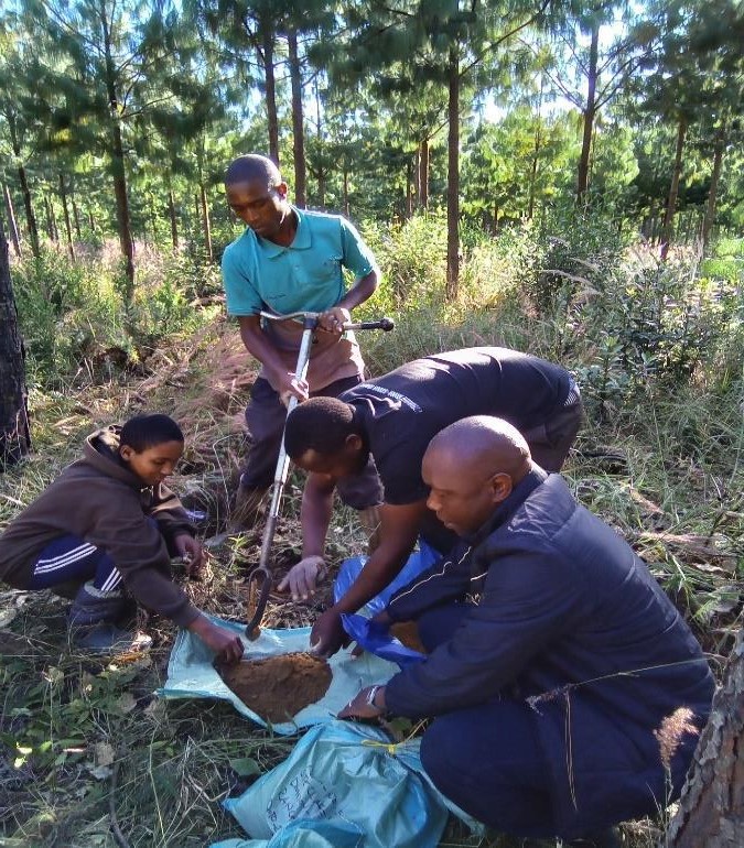
Collection of loose top soil samples
Packing of loose soil samples for laboratory analysis
Collection of litter layer samples
Litter layer samples were collected using a square box of 625 cm2 from five points. The collected samples were bulked and weighed, and composite samples were collected for laboratory analysis.
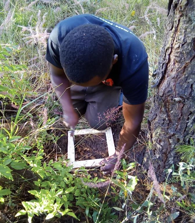
Square box for litter falls collection
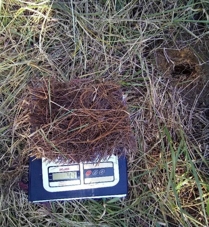
Weighing composite litter layer samples
Identification of potential plant indicators for soil nutrient availability
At each of 400 m2 plot, vegetation types including natural forest tree species, shrubs, herbs and grasses were described and will be studied as potential indicators of soil nutrients status.
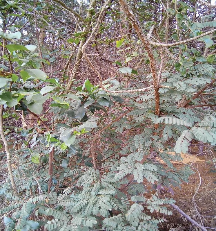
Natural forest plant species
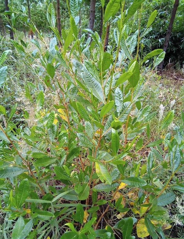
Shrubs
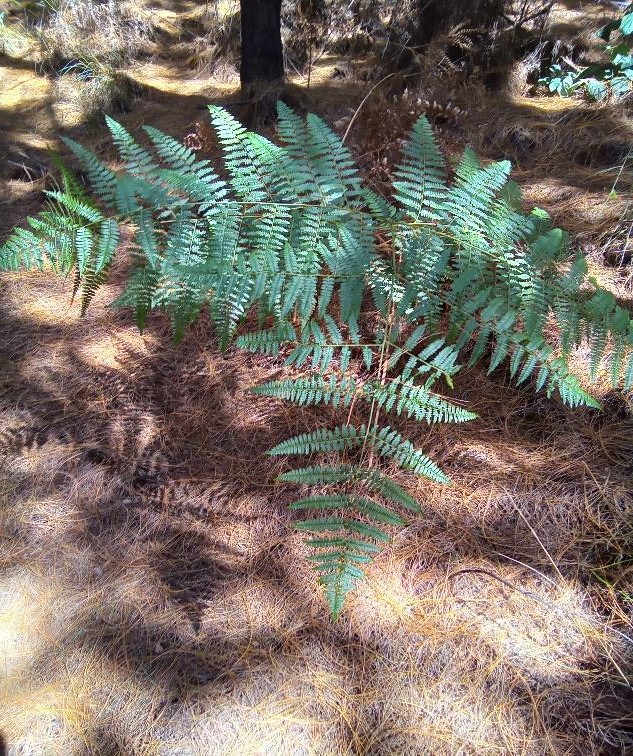
Herb plant
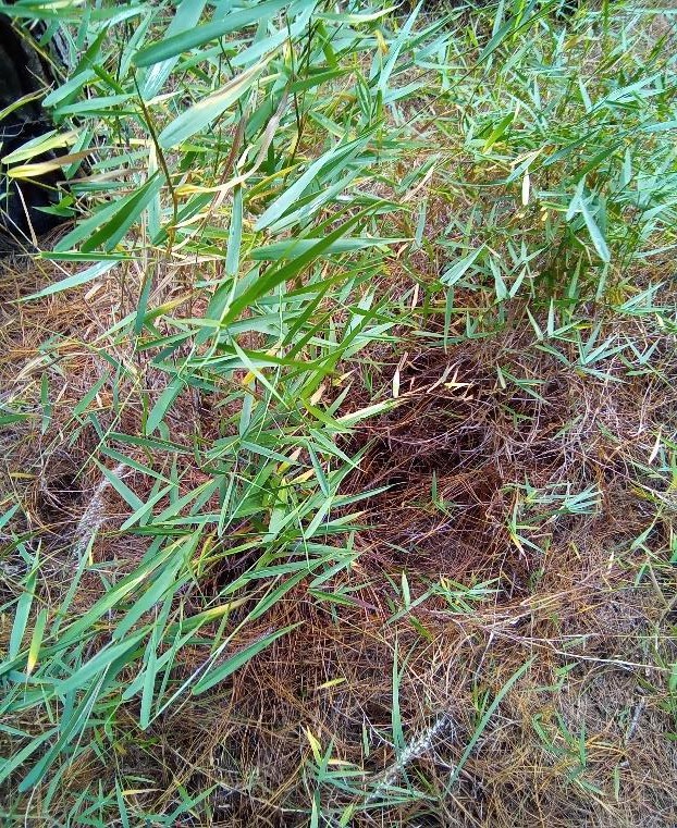
Grasses
Tree growth parameters
Trees were measured for Dbh, height (large, medium and smallest) and dominant height (Hdom).
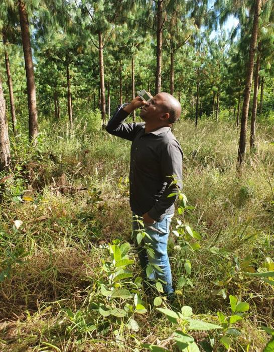
Measuring tree height
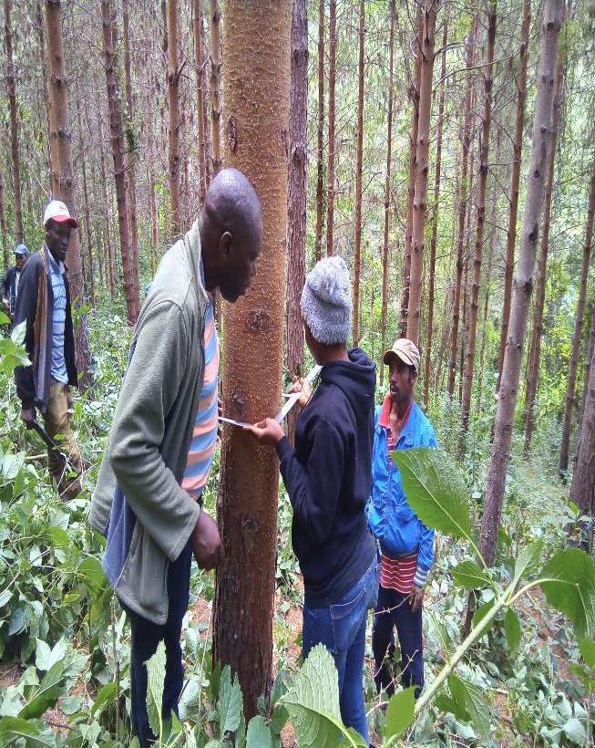
Measuring Dbh
Table 3: Tree growth measurements per site class at Sao Hill Forest Plantation
| Site Class | Total No. of trees measured for Dbh | Dbh (cm) Range | Hdom (m) |
| 1 | 467 | 6 – 26 | 22 |
| 2 | 539 | 6.2 – 32.7 | 25 |
| 3 | 557 | 5 – 33 | 21.7 |
| 4 | 401 | 4 – 20 | 10 |
The Way Forward
My next step is to undertake similar data collection at the Shume Forest plantation applying the same procedures used at Sao Hill Forest Plantation.