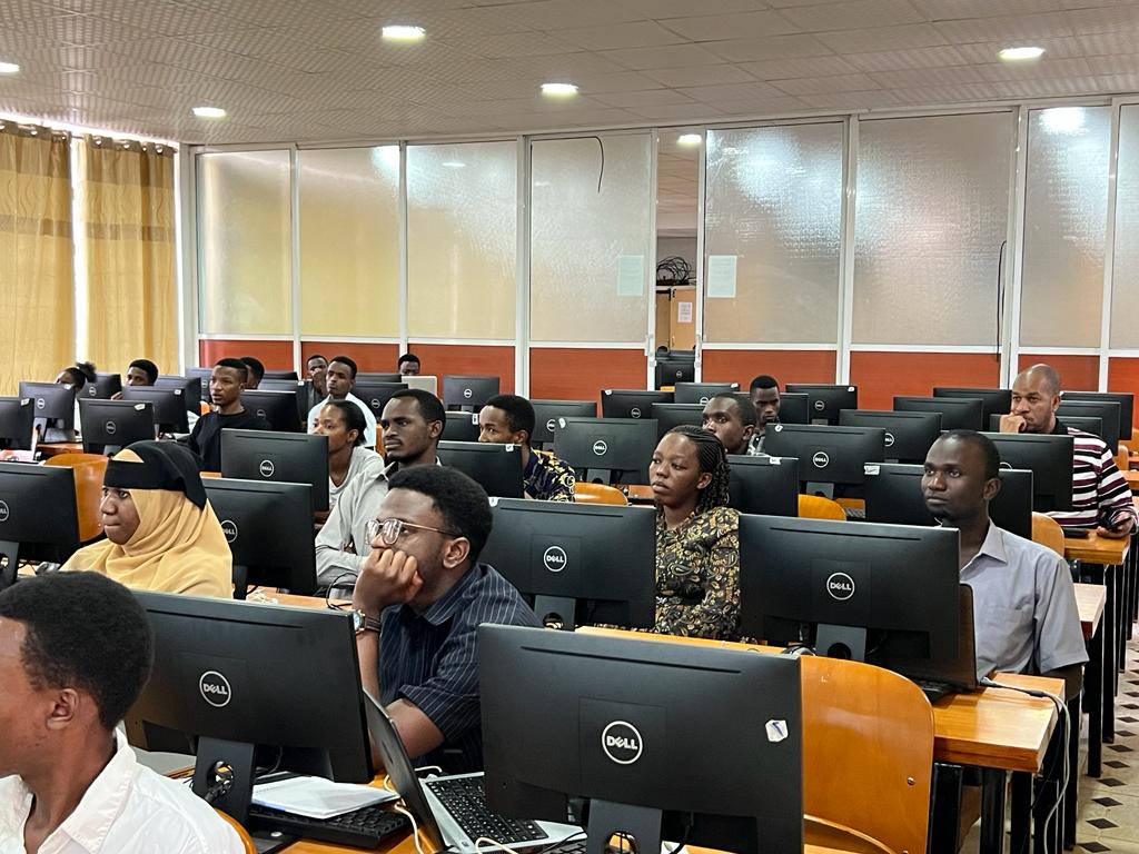
Third-year BSc. Forestry students underwent a two-week training on GIS and remote sensing under the supervision of Dr. Ernest Mauya from department of Forest Engineering and wood science. The training on GIS and remote sensing for BSc. Forestry students, is a step towards equipping students with practical skills that will help them address real-world problems in the forestry sector. The training aimed to equip the students with practical knowledge on the use of GIS and remote sensing to generate actionable problems and possible solutions that will help small-scale tree growers in Mufindi, Iringa, Tanzania, increase efficiency and productivity of tree production.
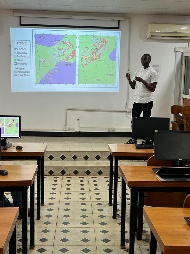
The training took place at the computer laboratory for two weeks after the completion of university exams. During the first week, students went to Mufindi to meet with small-scale tree growers to examine if actionable problems are in line with the challenges. In the second week, the students were taught on the use of Digicampus, Google Site, mobile data collection, and introduction to remote sensing. Finally, they generated possible solutions related to the problems identified and finalized with the presentation of results.
Forestry management requires accurate and up-to-date information on the location, extent, and condition of forest resources. GIS and remote sensing technologies provide a powerful tool for collecting, analyzing, and presenting such information. They enable the creation of detailed maps and models that can be used to monitor changes in forest cover, assess forest health, and plan forest management activities.