Abstract
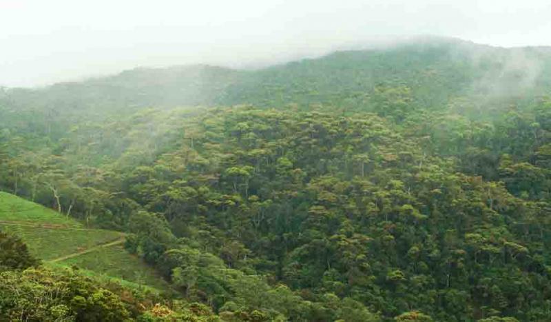
Tropical montane forests harbour exceptionally high biodiversity yet face severe threats from human activities. Assessing forest biodiversity over large areas is crucial yet extremely challenging. Remote sensing provides an efficient monitoring solution, but few studies have focused on Tanzania’s diverse, montane forests. We collected field data on tree species composition within 159 plots across montane forests in Tanzania’s West Usambara region. We calculated species richness, evenness, and Shannon diversity index as indicators of tree diversity. Using Sentinel-2 and PlanetScope satellite imagery, we derived spectral, textural, and vegetation index predictors to model these indices via generalized additive models and extreme gradient boosting. PlanetScope-based XGBoost models performed best, explaining 19.7% of variation in Shannon diversity. Incorporating textural predictors further improved model accuracy. Despite inherent challenges in modelling complex tropical forests, our findings demonstrate promising potential of Sentinel-2 and PlanetScope for regional biodiversity monitoring where field surveys are limited. Further research could enhance these initial results by leveraging higher resolution data and increasing field sampling for effective monitoring of tropical biodiversity.
Keywords: Tree species richness; montane forests; Eastern Arc Mountains; GAM, XGBoost
Modelling and Mapping of Forest Biodiversity Indicators