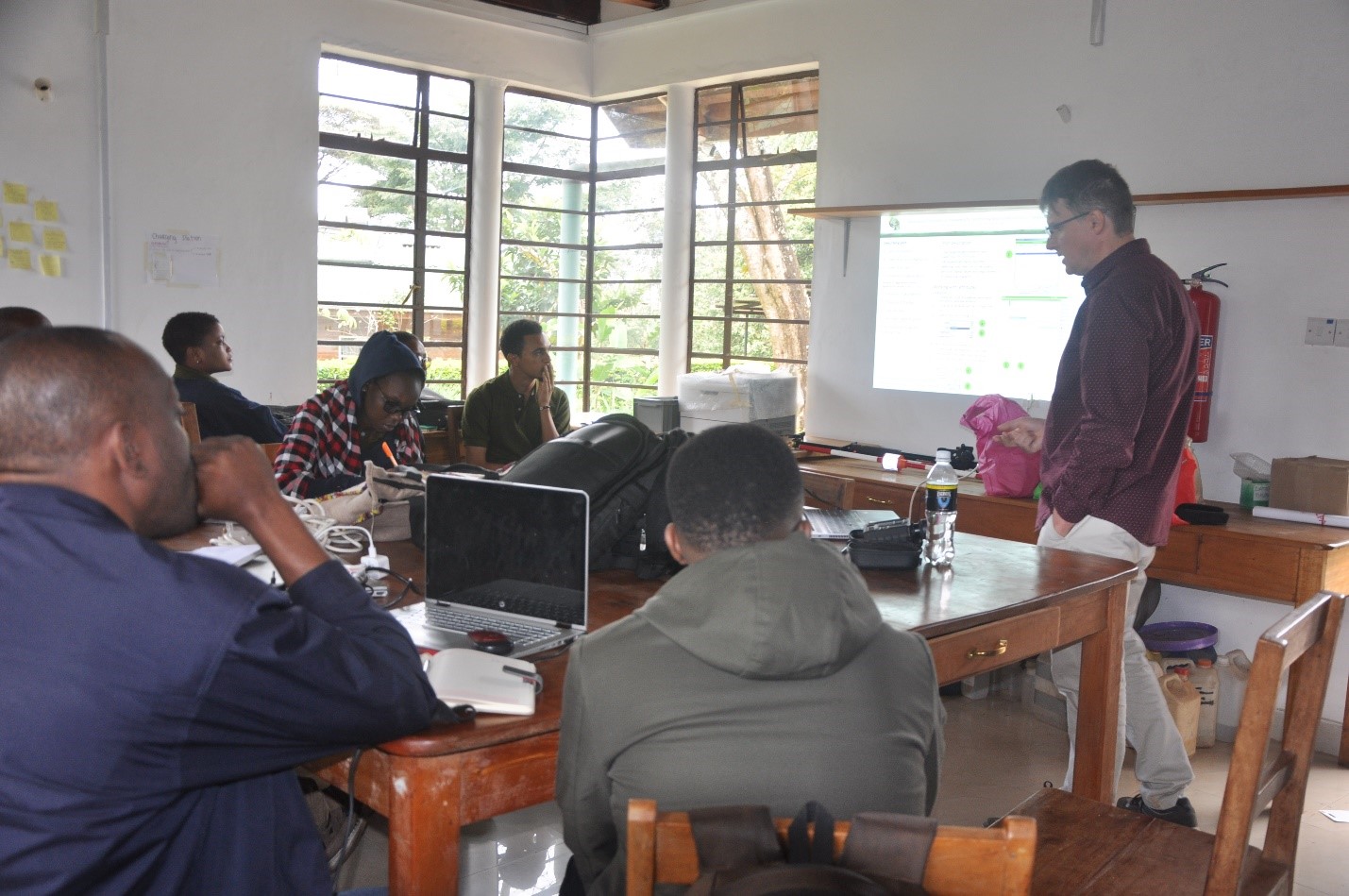
On 13th September 2022 students from the Department of Ecosystems and Conservation of the Sokoine University of Agriculture conducted practical training on Field map technology for forest inventory and monitoring at Scientific Station Nkweseko, Kilimanjaro National Park.
A field map is a technology that combines hardware and software for effective computer-aided field data collection and processing. The technology combines flexible real-time GIS software, and electronic equipment for mapping and dendrometric measurements. This technology is highly used in developed countries. It is more advantageous than other traditional inventory methods. These methods are easy to use, secure data loss, collect more information, and store data in industry-standard data format. Allow many processing functions and is more accurate than manual operations.
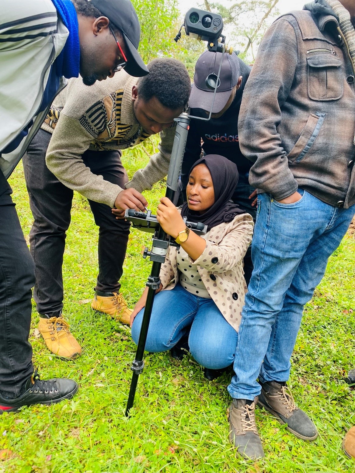
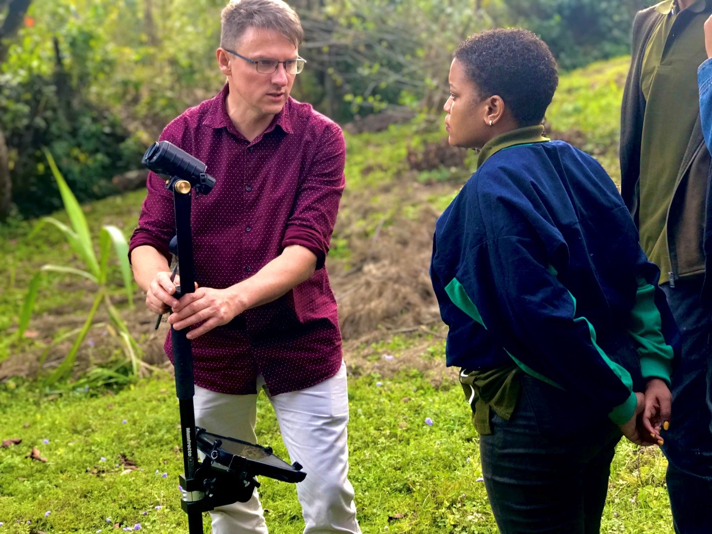
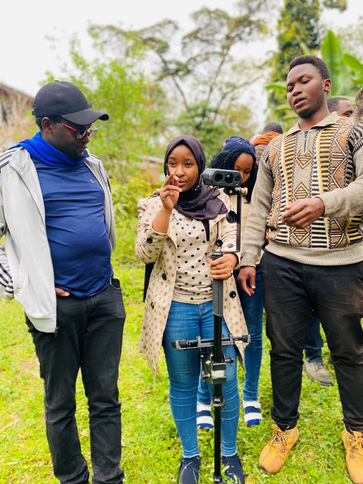 Students participated in measuring forest inventory parameters by using the Laser range finder scanner
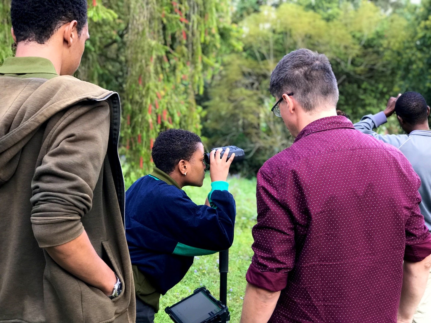
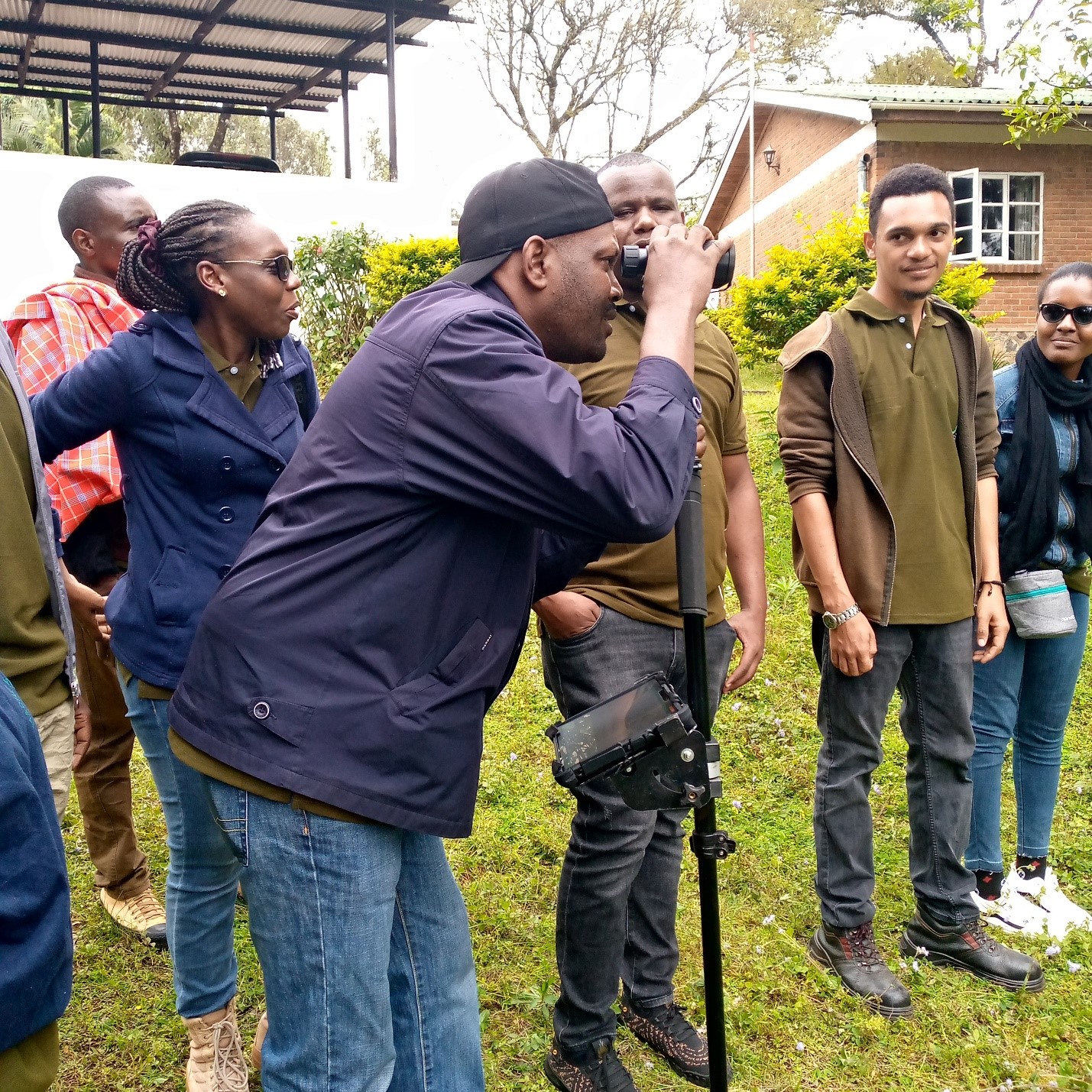 Tree height measurement by Laser range finder during forestry inventory training practical
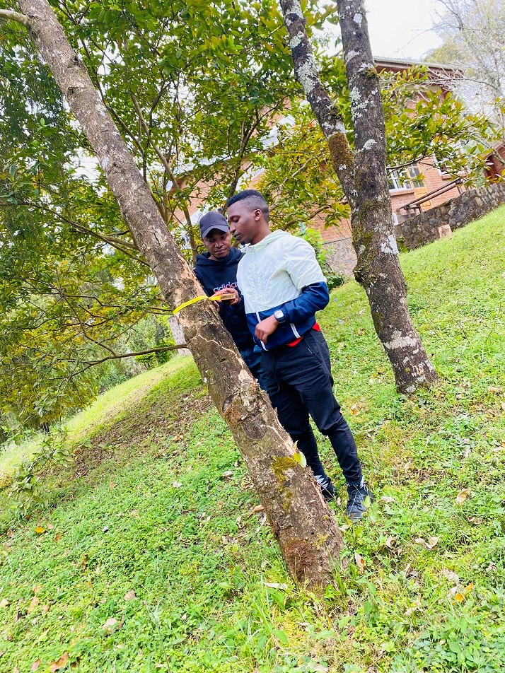
Tree diameter recording by diameter tape
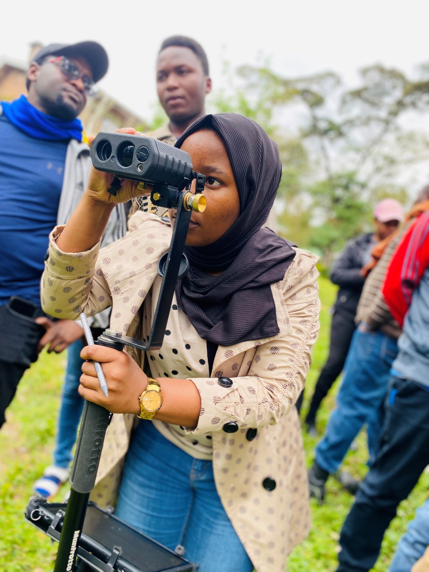
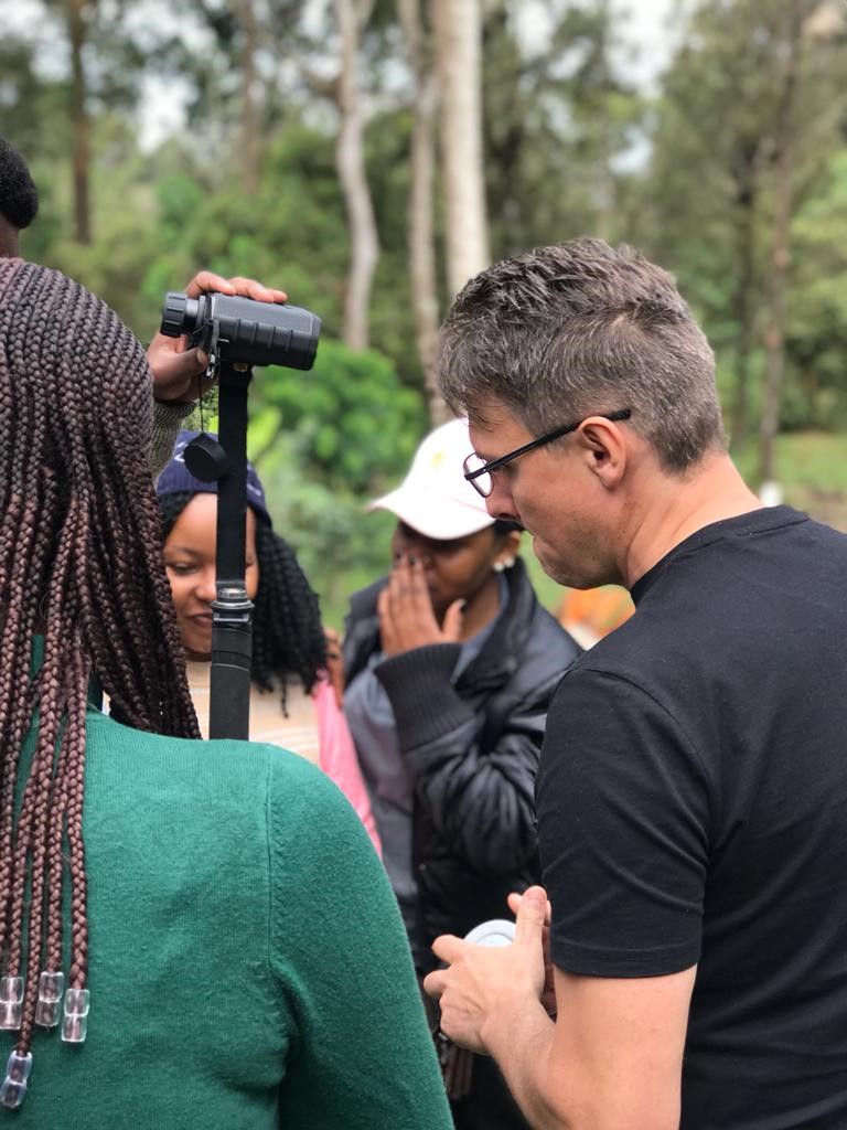
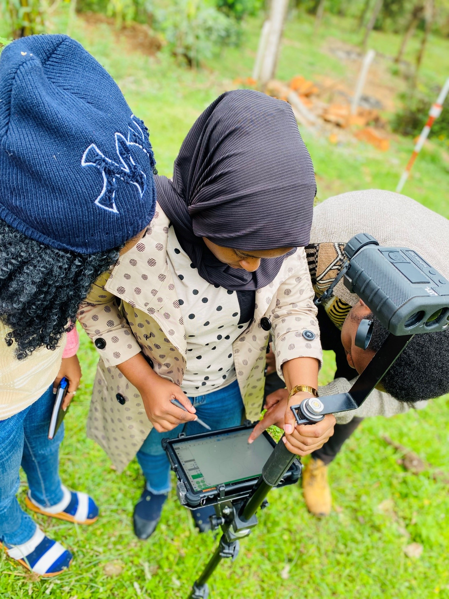 Data recording in the Laser range finder scanner
Funding line: European Union – Erasmus+ KA2 – Capacity Building in Higher Education (call EAC-A02-2019-CBHE)
Contact Us;
Project Coordinator,
Dr. Charles Kilawe,
CONTAN project
Department of Ecosystems and Conservation,
College of Forestry Wildlife and Tourism
PO Box 3010, Chuo Kikuu, Morogoro, Tanzania
ckilawe@sua.ac.tz
+255 752 581 069
![]()